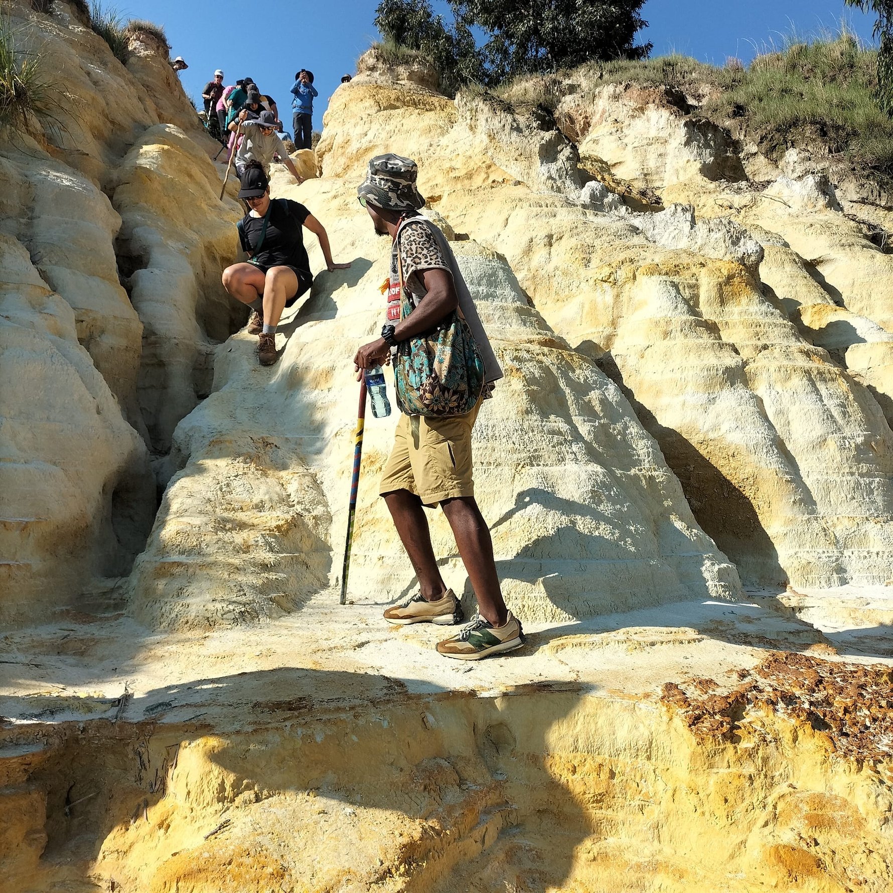
.jpg)
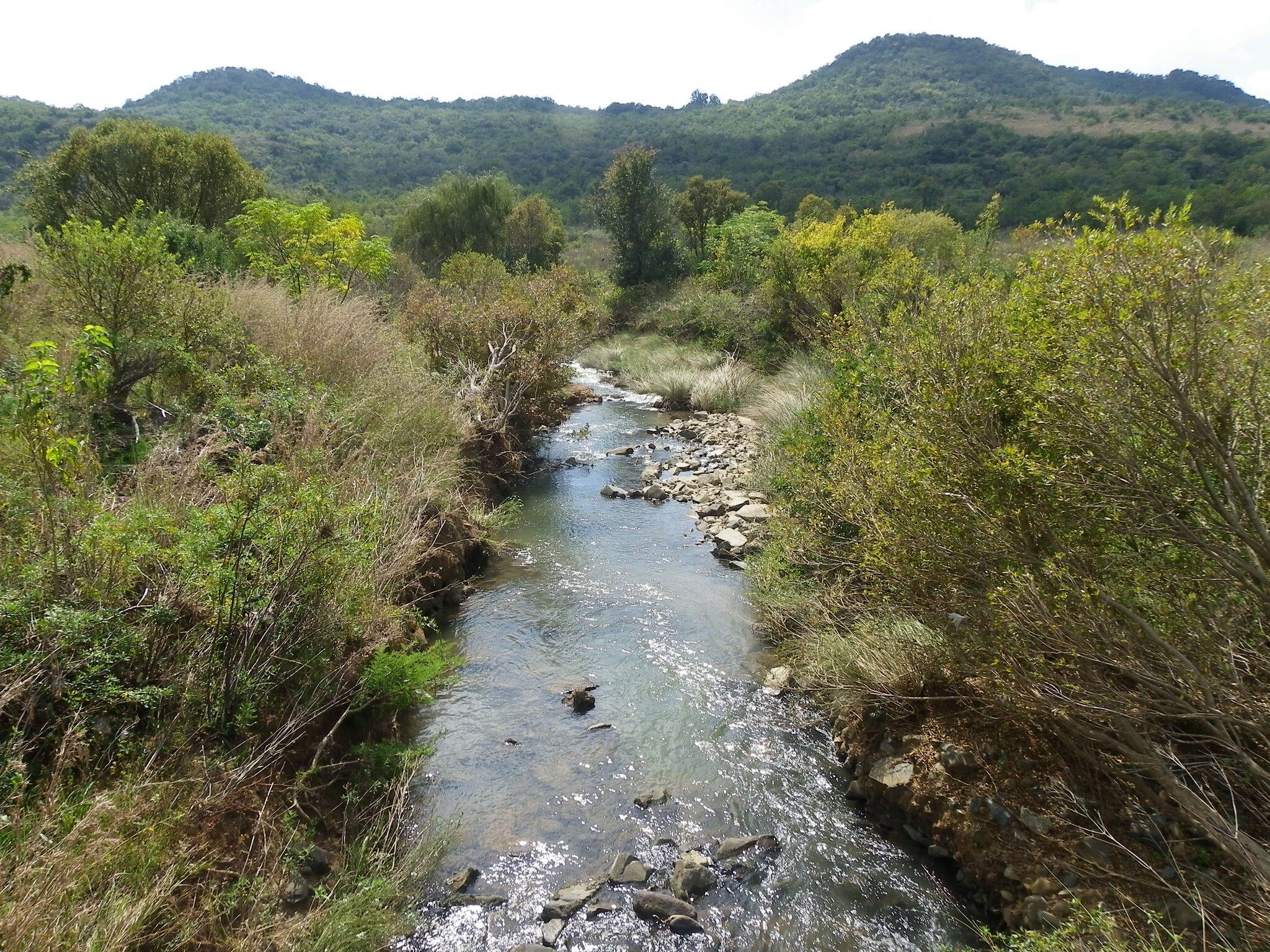
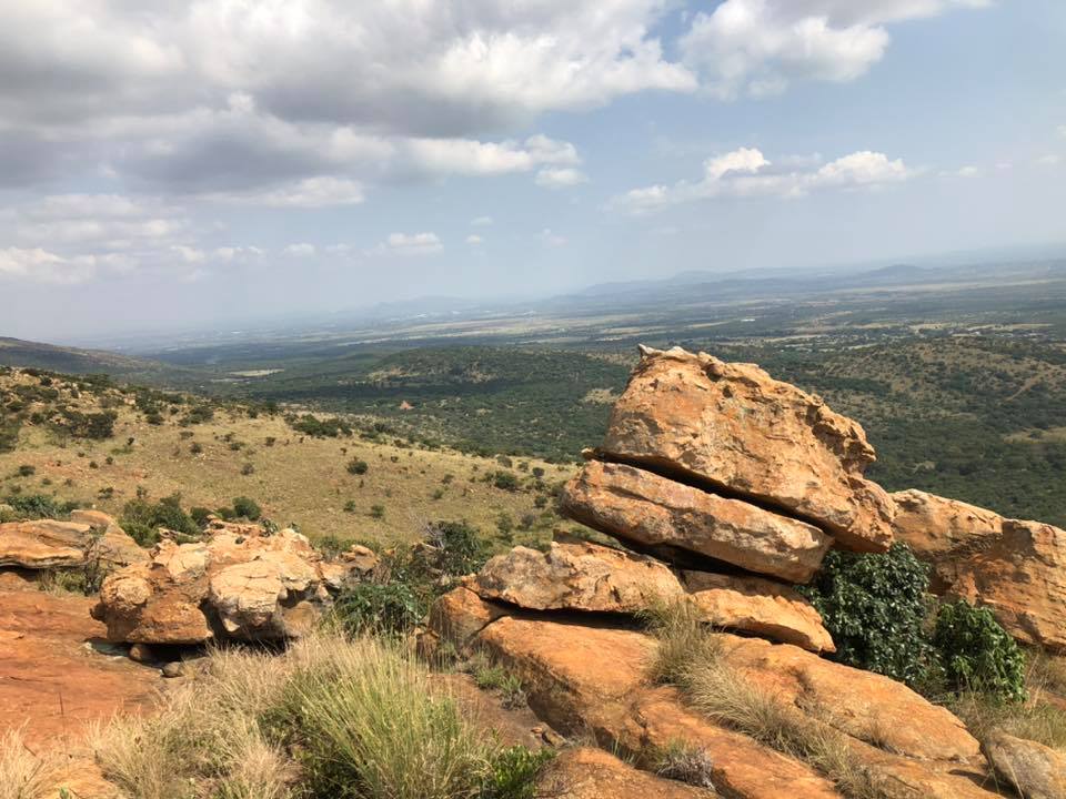
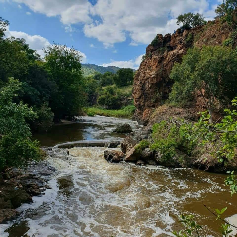
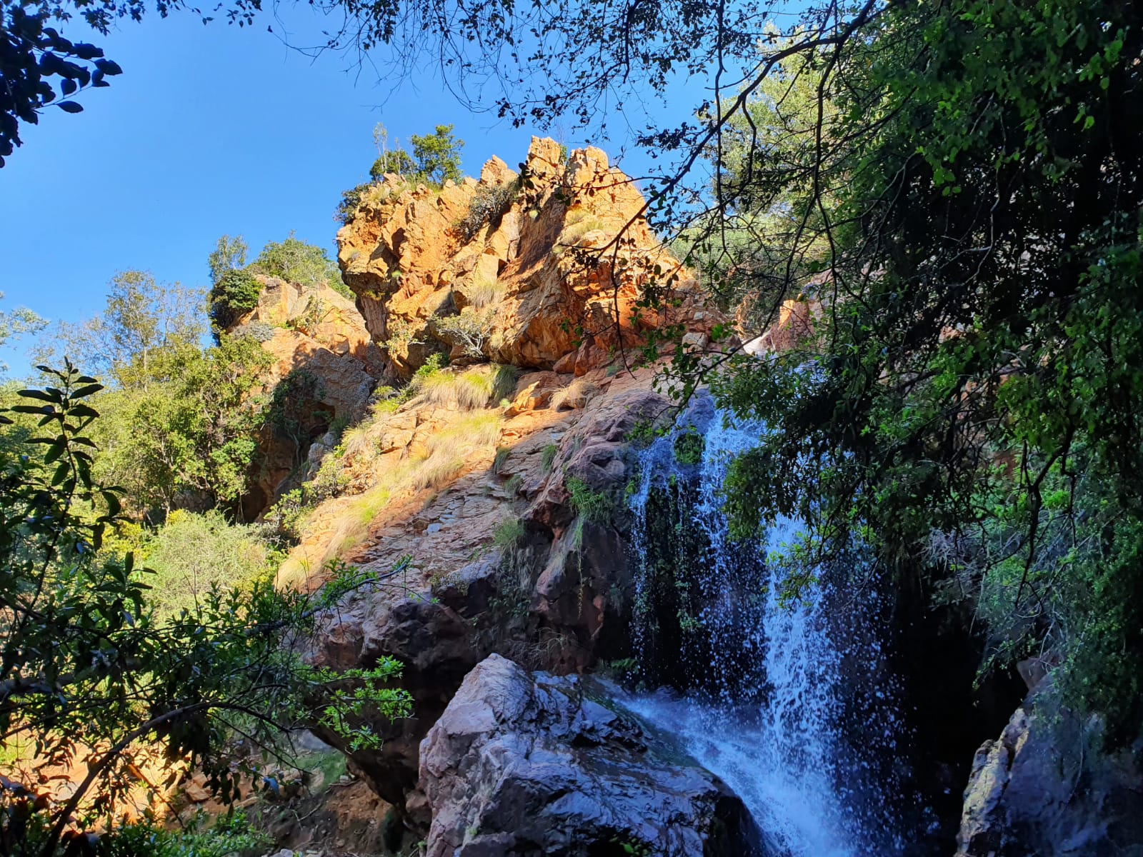
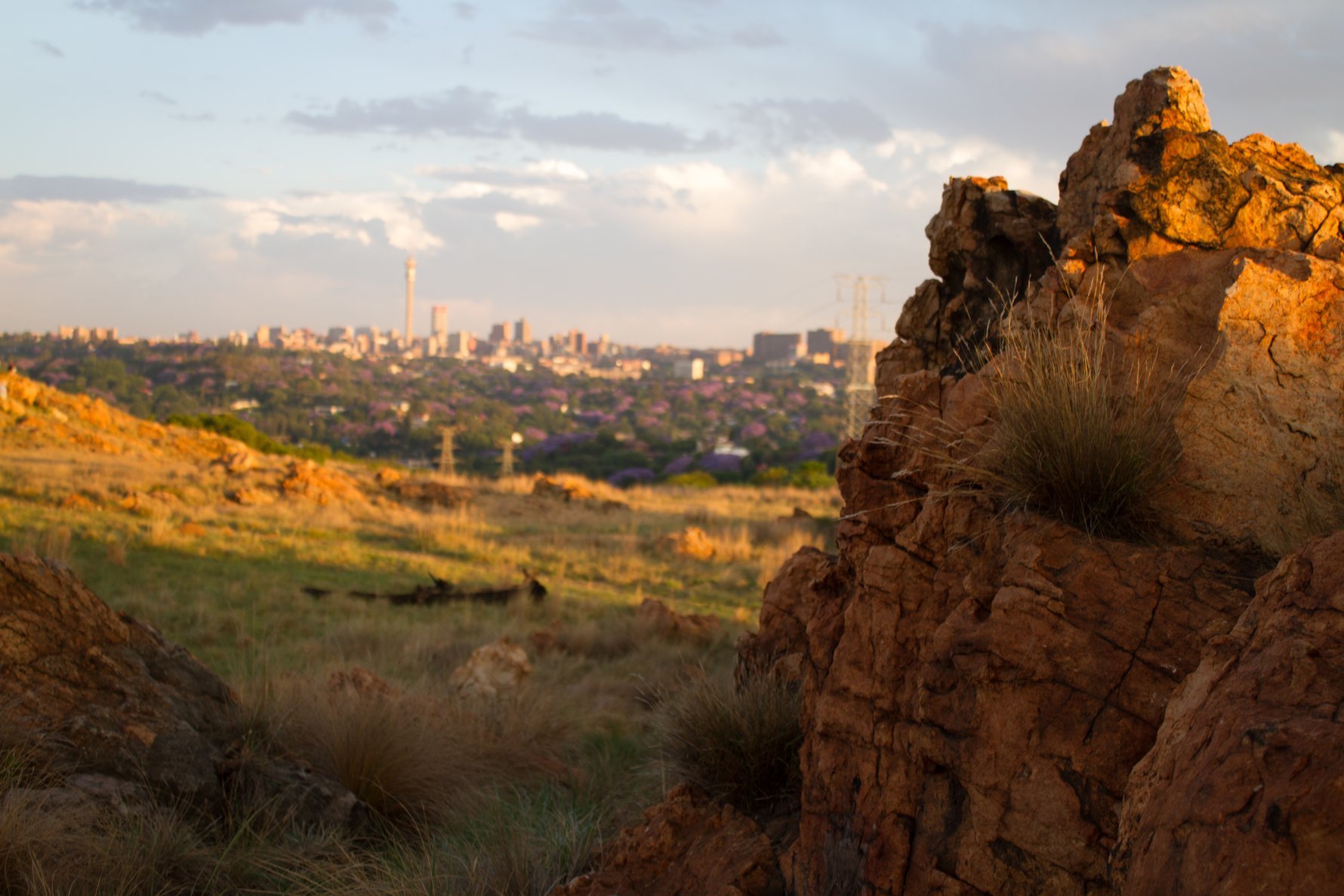
Joburg is amongst the world’s most treed cities, and within city limits, there is no shortage of scenic green spaces to take a stroll. We're also fortunate to be surrounded by the magnificent Magaliesberg mountains. Stretching 120km from Pretoria to Rustenburg, it's one of the oldest ranges on the planet. Gauteng's biomes are grassland and savanna, and the province is richly biodiverse. Outside of the city and into the surrounding countryside, you'll find private nature reserves crisscrossed by hiking trails that promise plenty of interesting fauna and flora and wonderful views, all within easy day-tripping distance.
For more on exploring the province, read our ultimate guide to what to see and do in Gauteng.
Over the years we've made it our mission to get out and hike Gauteng, and we always have our eyes and ears open for new trails to try. Here's our comprehensive, tried-and-tested guide to some of the best hiking trails in (or, in the case of a few exceptions) near Gauteng. For even more hikes in the province and beyond, Tanya Pembroke's Hiking Logbook is an excellent resource.
Permit-holder-only hiking areas
In this hiking guide, we have focused on trails that do not require a permit to visit. Several impressive hikes in the Magaliesberg area can only be accessed by members of the Mountain Club of South Africa (MCSA) who have applied for the relevant permits. In some cases, it may be possible to apply for a permit as a non-member or as a guest of a member. Hikes that can be accessed with such permits include Castle Gorge, Cedarberg Kloof, Dome Pools, Grootkloof, Mhlabatini, Lower Tonquani, Upper Tonquani, and Ysterhout Kloof. For more on joining the MCSA's Johannesburg section for access to properties owned and maintained by the club, visit mcsajohannesburg.org
Adventure Zone Cullinan
A 13km drive east of Cullinan in the scenic Muningi Gorge, Adventure Zone Cullinan offers high-octane ziplining and abseiling activities, and also has three interesting hiking routes that plot their way up and down through the wooded gorge. There are three hikes to tackle: a 2km, 4.5km, and 8km, each of which involves some moderate scrambling up and down over boulders as you make your way along the riverbed. The 8km route should take three to four hours to complete, with some moderate uphills as you climb up a pass in the gorge before looping back around the top. For post-hike refreshments, there's a small deck overlooking the dam at the top of the gorge serving drinks and snacks.All activities, including hiking, should be booked online in advance at azcullinan.co.za; open Mon – Sat from 08:00 – 17:00, Sun from 08:00 – 15:00; 103 Oak Avenue, Cullinan.
Bekker Trails
Situated in the Magaliesberg mountain range, Bekker Trails offers 3km, 6km, 8km, and 15km trail options along natural forests on the bank of the Magalies River. The shorter trails are mostly flat and shaded, but the more adventurous can take on 'Wendy's Heartbreak Hill' on the slope of the mountain. In the vicinity is also Bekker's Plaaswinkel, where you'll find delectable eats and treats such as cakes, biltong, boerie rolls, and preserves. Best of all, the trail is pet friendly.Bookings can be made on their website, or you can call them on +27 72 454 2933 or email hiking@bekkerhs.co.za. Entrance is R80 per person, R50 for children younger than 12, and R30 per fur baby. Open from 07:00 – 16:00. Located on Hoërskool Bekker Farm in Zeekoeihoek, Magaliesburg.
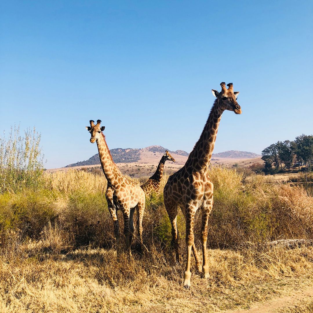
Cradle Moon Lakeside Game Lodge
Just half an hour's drive from Sandton Central, this expansive lodge in the middle of a 160-ha conservancy in the Cradle of Humankind is popular with mountain bikers, trail runners, and open-water swimmers. Head to the activities centre next to the car park to pick up maps and pay for activities. For mountain bikers, trail runners, and hikers looking for a gentle walk, there are over 30km of trails crisscrossing the game reserve spread over three well-marked routes. For hikers, the best route is the easygoing 10km route which traces a path around the Cradle Moon Dam. There is abundant game to look out for, including zebras, giraffes, and springbok. The dam is also a short walk from the Cradle Moon reception area, and it's a popular destination for open-water swimmers – albeit very cold in winter! Swimmers can follow the buoys to plot a 1km swimming route around the circumference of the dam. No pets or music, and no food, drinks, cooler boxes, or alcohol are allowed to be brought on to the premises. But not to worry, there are two restaurants on-site.No need to book in advance to enjoy Cradle Moon's cycling, running, hiking, and swimming activities. There is an entrance (conservation) fee, plus an additional fee depending on the activities you want to do. Pay for all activities at the activities centre on arrival (show proof of payment to exit afterwards). Find opening hours here; Plot 59, Beyers Naude Drive, Muldersdrift.
De Wildt Adventure Trails
Bordering Hartbeespoort Dam, about a 30-minute drive from Pretoria, this hilly hiking reserve that hugs the rocky foothills of the Magaliesberg mountains has an array of trails to suit all ages and fitness levels. Families will enjoy the 5km or 7.5km Kiepersol trail, while a more difficult hike can be had on the 12.5km Ktatu and Dinaneni trails. The 21km Euphorbia trail is challenging but worth it, and there is also the multi-day Wilde Sering hike to tackle. All trails are pet friendly.The trails are open strictly by prior appointment. Hikers and trail runners must book and pay for their visit in advance by emailing reservations@dewildttrails.co.za or calling +27 82 777 9326; closed Mon. Find opening hours here; R513 Yellow board no. 78E, Farm Schietfontein Portion 19, Schietfontein, De Wildt.
Dome Pools
This wilderness hiking venue falls under the purview of the Mountain Club of South Africa (MCSA) but is open to non-members with valid permits, and is well worth visiting. The Dome Pools property is home to some of the deepest rock pools in the Magaliesberg, making it especially fantastic for the summer months – or winter if ice baths are your thing. The hike to the pools and back is approximately 8km with some fairly steep ascents and descents along the way. The path is unmarked, so this hike is only recommended if you're comfortable following the route on the map provided.
Non-MCSA members may visit the Dome Pools, but a limited number of permits are issued per day to limit the number of people accessing the property for conservation reasons. Permits can be obtained from admin@mag.mcsa.org.za (note that office hours are Mon – Fri from 08:00 – 10:00). Find more information here; Wilkinson Avenue, Lonrho Drive, Mooinooi.
Ezemvelo Nature Reserve
Not to be confused with the network of safari reserves in KwaZulu-Natal, Ezemvelo Nature Reserve near Bronkhorstspruit, east of Pretoria, offers mountain biking, hiking, game drives, fishing, and bird watching. There is an abundance of interesting game to watch out for, including zebras, wildebeest, and red hartebeest, as well as fantastic birdlife. There are three different hiking trails to choose from that traverse a tree-lined river valley overlooked by rocky outcrops. The short Ochna trail (5km) treads a path through grasslands and up a small koppie; the Protea trail (14.6km) covers grassland and a small, steep, rocky hill; while the 21km Burkea trail is a tough walk through grassland and over hills to the far side of the reserve and takes approximately five hours to complete. There is a shop on the reserve that stocks the basics. The reserve is open for hiking, mountain biking, and self-drive excursions. There are no specific routes for cyclists, but they can make use of any of the jeep tracks around the reserve.The reserve is open daily for day visitors from 07:00 – 17:00. To book, email bookings@ezemvelo.co.za. Visit ezemvelo.co.za for more information; entrance on R493, Elandsfontein.
Faerie Glen Nature Reserve
Bordering the suburb of Faerie Glen in the east of Pretoria, Faerie Glen Nature Reserve is a pristine respite from its built-up surrounds. With impressive wildlife (look out for larger game like impala and zebra, and smaller mammals including mongooses, hares, and porcupines) and scenic views out over the city, this reserve makes for excellent urban hiking. Once a private farm, the land has been managed by the City Council of Pretoria since 1973 as a public open space, though it only gained reservation status in 2014. The valley comprises two vegetation types: Gold Reef Mountain bushveld and Marikana thornveld. There are three trails to choose from that ascend in difficulty. The 2.3km Hadeda trail is great for beginner hikers, while the Acacia trail is 3.2km and the Kiepersol trail (rated most challenging) is 4.2km.
Groups of more than 20 people must book in advance. Otherwise, entrance fees can be paid at reception on arrival. Dogs on leashes are allowed with a valid permit (obtained by completing the application form at the cashier.). Mon – Sun from 06:00 – 18:00; January Masilela Drive, Faerie Glen, Pretoria.
Ground The Venue
Nine kilometres long and considered fairly technical, this trail features a steep climb over rocky and uneven ground with little shade, but, as is often the case with hiking, your efforts will be rewarded with an unforgettable view of scenic Muldersdrift. Ground The Venue also offers other well-marked trails that vary between 4km and 9km for unguided hiking or running, as well as a pram-friendly route. For a beverage and a snack after your hike, head to Ground Café, where you can enjoy Naked Coffee and a selection of deli items, or try the excellent restaurant, The Terrace. Pre-booked picnics and wine tastings are also available. The trails and café are pet friendly, so bring the doggies to join in the fun.There is no need to pre-book; check in at the café from 08:00 – 15:00 from Wed – Fri, or at the hiking station from 06:30 – 11:30 on Sat and Sun. The trail costs R60 per person, but Ground The Venue also offers hiking packages that include food options such as gourmet breakfast rolls and burgers for just a few bucks more. These have to be pre-booked here, or contact them at events@projectground.co.za. Located at 19 Driefontein Road, Muldersdrift.
Hennops Hiking Trail
Hennops Hiking Trail is a 45-minute drive north of Joburg, but more than worth the journey. Choose from three circular hiking routes: the short 2km Dassie trail, the 5km Zebra route, or the more challenging 10km Krokodilberg route (four to five hours for experienced hikers). All trails begin by crossing the Hennops River either by a suspension bridge or via a fun, old-fashioned cable car that works by a pulley system. The trails then meander through the surrounding hills with good views of the nearby Magaliesberg mountains.There is no need to book in advance to visit Hennops Hiking Trail. Note that hikers must get on to the trails by 13:00. No pets or baby strollers allowed. Mon – Fri from 07:00 – 13:00, Sat and Sun from 06:00 – 13:00; entrance off the R511 (10km south of the R105 junction).
Kings Kloof Trails
A 40-minute drive from Joburg, and a few kilometres outside of Krugersdorp, lies Kings Kloof Trails, a picturesque farm with a range of trails meandering across the hills. The trails gently wind around the hills before swooping down to follow a river through a wooded valley towards a waterfall at the foot of the kloof. There are six well-marked and maintained trails to choose from. The most popular is the 7km Yellow route, which should take you about 75 minutes to complete. Note that these trails are designed with trail running in mind, so they feature a lot of loops that you might find quite annoying. Unless you are on a mission to clock up your steps, you might want to consider 'chicken running' some of the more boring loops.
No prior booking is required, although it can get busy, so arrive as early as you can. Kids in Grade R and under enter for free. Water and energy drinks/snacks are allowed on trails, but no other food or beverage is allowed – these are available from the restaurant and take-away section. No private picnics allowed (picnic spots can be pre-arranged and baskets paid for upfront). No pets allowed. Sat, Sun and public holidays from 06:00 – 15:00; entrance along the N14 (extension of Hendrik Potgieter, Muldersdrift).
Klipriviersberg Nature Reserve
Klipriviersberg Nature Reserve is an extensive reserve that covers more than 600ha and is a popular city escape in south Joburg. Blesbok, zebra, and other game roam the hillsides of the ‘rock river mountain’ and there are various signposted hiking trails ranging from 3km to 9km. The circular 8km Dassie trail starts at the Silent Pools entrance and winds its way to the top of the hill, or take the slightly shorter and flatter Bloubos trail that follows the river. Neighbouring the reserve is Thaba Trails (101 Kliprivier Drive, Mulbarton), a dedicated mountain biking area that opens on weekends with a 6km, 15km or 30km biking trail to choose from.This is a public nature reserve and no prior booking is required, and there's no entrance fee. Arrive as early as you can. No pets or bicycles allowed. There is a braai and picnic area at the reserve's entrance (but you'll need your own braai set-up). Mon – Sun from sunrise to sunset; entrance directly opposite 129 Peggy Vera Road, Kibler Park.
Kloof Rus Dog Park and Hiking Trail
Take your pooch to Muldersdrift's version of dog heaven. Replete with walking options of different lengths and several little dams where you and your furry friend can cool off, Kloof Rus Dog Park and Hiking Trail is the ideal hike for anyone who is new to the sport, is in the mood for something easier, or wants to spend the day with man's best friend. The trails are not set or marked, which means the length of the trail is up to you. The outer (and longest) loop is 3km, but you can easily turn this into a 5km route if you're in the mood. As for the difficulty of the trail, the most challenging part is the first 1.5km going up to the top of the hill, which is surprisingly steep. If you want to extend your adventure, pack your braai tongs, because this cute little spot features a lovely braai area.
Remember to book before you head out; call +27 72 584 0350 or email karen.byrneksac@gmail.com to book. Open Mon – Sun from 08:00 – 16:00. The entrance fee is R50 per person, although the price is subject to change depending on the owner's discretion. There are only two braai areas, so make sure you get there early. The braai facility has no lights, so if you're planning to stay after dark, pack a torch or headlamp. Located just off the R374 in Muldersdrift.
Kranskloof Hiking Trail
For a dog-friendly trail that's moderately challenging, Kranskloof Hiking Trail near Oorzaak in North West province is the answer. Popular with runners, hikers, and dogwalkers, this circular route is 8.4km in length, with an approximate elevation gain of 373m. You can look forward to impressive rock formations, spectacular views, mountain streams, and a valley where you and your pup can take a dip. The trail also boasts porcupines, smaller fauna, wildflowers, and a spectacular gorge with some technical sections.
Entrance fee is R20 per pup, R100 per adult, and R50 for children aged seven to 12. For more information, call +27 14 535 0014 or +27 78 976 6723, or email bookings@footprint.co.za. Open Mon – Sun from 07:00 – 18:00. Some sections may be slippery, so take it easy and watch your step. There is secure parking on the property. Dogs have to be on a leash at all times. You can find the entrance to the start of this trail on Buffelspoort Rd.
Majakaneng Hiking Trails
Owned and run by the local community, Majakaneng Hiking Trails is located in North West province close to Mooinooi. Part of the Magaliesberg Biosphere Reserve and located on the northern slope of the Magaliesberg mountain range, it is a spectacularly beautiful trail with 3km, 5km, and 10km circular trail options. The trails start at the edge of the friendly township of Majakaneng, from where the 5km and 10km trails wind their way up the mountain. Here, hikers are treated to spectacular views as they walk along the ridgeline before they descend through the forest back to the start of the trail. The 3km option is a lovely walk through the shady forest and accompanied by mountain streams.There are also several British fortifications from the days of the South African War along some of the trails, and the trail is said to have some of the friendliest and most well-informed guides. They are also involved in an initiative to raise money to buy school shoes for children, so a portion of your entrance fee will go towards a good cause. Rumour has it that driving through the township to get to the trail has put some people off in the past, but according to hiker Tanya Pembroke, "the townsfolk of Majakaneng are some of the most friendly and helpful I've ever met".
Bookings must be made with Majakaneng Hiking Trails by calling +27 71 069 1044 (Victor) or +27 67 392 1567 (Hendrick). Open Fri – Wed from 06:00 – 17:00, and on Thu from 07:00 – 17:00. The hike costs R100 per person for a guided or self-guided hike; there is also a R40 conservation fee per car. An hour's drive from Joburg, Majakaneng can be found along the N4 toward Rustenburg.
Melville Koppies
A nature reserve and heritage site, Melville Koppies boast archaeological remains of Stone Age and Iron Age settlements and great views over the City Centre skyline. The best way to visit is on one of the Sunday morning guided hikes (90 minutes and longer), which alternate between a 4km guided walk and a more challenging 10km hike, and take in the area’s unique fauna and geology.Email wendavid@mweb.co.za or call +27 79 532 0083 to book your place on a guided hike (R100 p.p). Or enjoy a 5km unguided hike (R100 per adult; R50 for under 18s; free for children younger than five); pay on the day at the reception hut. No pets, braais, picnicking or bikes allowed. Secure, free parking can be found opposite the Koppies' entrance at Marks Park Sports Club in Judith Road, Emmarentia. Melville Koppies Central opens on Sun mornings for walkers and hikers, entrance is strictly from 08:00 and you must leave the reserve by 11:30 (the gates will be locked); corner Judith and Orange Roads, Emmarentia.
Milorho Lodge Hiking Trail
On the northern slopes of the Magaliesberg mountain range lies the Milorho Lodge Hiking Trail, an easy to moderate route that features Iron Age sculptures, grasslands, and a walk through a scenic gorge complete with rock pools and waterfalls. Coupled with breathtaking views, incredible rock formations, and interesting fauna and flora, this trail has something for everyone. There are two trail options: a 4.7km 'brown trail' and a 12km Greenflag accredited trail with some boulder-hopping and scrambling; both routes are great for birders, amateur botanists, and anyone looking to beat their cabin fever. The property also has self-catering chalets or options for glamping. To quote Voets Toets Hiking: "[This] was such a blessing to experience."
Open Mon – Sun from 07:00 – 16:30; entrance is R120 p.p. and R60 for children younger than 16. They can be contacted via their website, at +27 83 290 6464, or via email at info@milorholodge.co.za for bookings or queries. Located on Farm Rietfontein in Rustenburg.
Modderfontein Nature Reserve
Modderfontein Nature Reserve is a peaceful, privately managed 275-hectare reserve, crisscrossed by relatively flat hiking and cycling trails that are well maintained. There are specially designed mountain biking routes ranging from 10km to 40km (as well as a pump track and a track for kiddies) and non-technical hiking trails of varying distances that skirt around the reserve’s wetland areas. All hiking and cycling trails are open daily and the Fourways Farmers Market takes place here over the weekends (there's an additional entrance fee for the market of R10 p.p).There is no need to book, although the reserve may close to extra visitors if it gets too full, so we recommend getting there early. The entrance fee varies depending on the activity you want to do. You can also picnic at Dam 3 (it has braai facilities but limited capacity) for an additional fee. Fishing is allowed at Dam 3, but a daily permit must be bought (strictly catch and release). Strictly no pets allowed in the reserve, but socialised, leashed dogs are allowed at the market. Mon – Sun, 06:00 – 18:00; entrance on Arden Rd (off Ardeer Road) in Modderfontein, or at Taroko Trail Park, Norfolk Lane, Klipfontein.
Mountain Sanctuary Park
Mountain Sanctuary Park is wonderful for a day hike or an overnight stay. You don't have to work too hard before arriving at the pristine, cascading rock pools, and if you hike no further, these can easily keep you occupied for the day. This private nature reserve is unique in that there's no set path, so it's a choose-your-own-adventure kind of hike with 1,000ha of veld to explore using a map provided at reception. Good news for semi-experienced hikers or for those who do well with orienteering, guided hikes are offered (approx 3 – 4.5 hours) if you'd prefer. The property has beautiful rock formations, and a wide variety of animals and birds indigenous to the Magaliesberg, as well as sites for rock climbing and abseiling (your own gear is required).
Day visitors can pay for their passes at the reception of Mountain Sanctuary Park. Note there is also a vehicle entrance fee of R100. To book a guided hike, contact +27 82 707 5538; Mon – Sun from 08:00 – 17:30; find directions here.
Ndofaya Hiking Trail
One of our favourite Gauteng hikers, the seasoned Tanya Pembroke, says Ndofaya Trail in Soweto was one of the best walking/cultural experiences she's had. Explore the golden dunes of the Main Reef mines in this moderate, family-friendly guided hike. The 6.5km route starts in Meadowlands, Soweto, winding down to the Fleurhof Dam and up into the old gold mine dumps, covering a portion of Roodepoort before you make your way back to a local shebeen for a bite to eat.
Masike Lebele and his team lead this educational group hike that costs R200 p.p. Call +27 82 717 4816 to reserve your spot. Weekend hikes start at 07:30, with sundowners at 16:30. Follow them on Facebook for regular updates; 44B Ordendaal Road, Johannesburg.
Phaladingwe Hiking Trail (Africaland)
Called an "African gem" by Voets Toets Hiking, Phaladingwe Hiking Trail is about 45 minutes from Joburg in the Hartebeespoort region. On offer is a well-marked and well-maintained 6.8km trail rated as easy to moderate. The trail starts at the historic Preller House, which was once home to renowned journalist and historian Gustav Preller. From here, it circles past the Crocodile River before depositing you safely back at the start.
What makes Phaladingwe special is the variety of landscapes – from open grasslands and forests to ravines and mountain views. Despite a few steep climbs, the trail is quite manageable, and the lookout points along the river (hopefully accompanied by a sip of water and a snack) are guaranteed to keep you engaged. You can also have lunch at Preller House after your hike, and if you promise to keep your pup on a leash, you can bring your furry friend, too.
There is no need to book, but it is recommended that you phone ahead if you want to spend some time at the restaurant. Open Mon – Sun from 07:00. Entrance is R80 per person; only cash is accepted and there are no ATMs in the area, so come prepared. For more info, call +27 84 341 5236 or email margaret@africaland.co.za. Preller House is located at 567 Church Street, Necsa Gate 1, Broederstroom.
Piesangkloof Trails
For an off-the-grid bush camp experience, try Piesangkloof Trails. Located on a private farm on the foothills of the Magaliesburg mountains, the property offers a choice of two routes. The first is a 3.6km trail, and the second is an 8km trail that takes you through the gorge and on to the ridge of the mountain. The trail is quite technical with steep sections and a 450m elevation gain, but once you see the view, you'll forget all about those aching calves. For the brave among us, wild camping is allowed on the mountain ridge, and they'll even offer to porter your goodies to the top for you. If hiking makes you peckish, pack your braai gear to make the most of their braai facilities. The facility is also pet friendly, so pop your pup in the car for a family adventure.
Piesangkloof Trails has a few tough sections, which is why they advise you take a small first aid kit, at least one fully charged phone, and enough water and food. Hikers must always walk in pairs or groups – no solo hiking is permitted.
Booking is essential. Gates open at 08:00 and close at 18:00; the hiking cut-off time is 12:00. The entrance fee is R50 per person for the 3.6km trail, R100 per person for the 8km trail, and R50 per person for day visitors who want to join in the fun but are not too keen on hiking; children younger than five enter for free. For more information and to book, head to their website or call +27 84 422 9680 (Mike Els), +27 84 409 0217 or email piesangkloof4x4trails@gmail.com. Piesangkloof Trails is located on Farm G10, Boschfontein on the Old Rtb Road R104.
Rustig hiking trails
The Rustig hiking trails are situated on a historic family farm that sits right below the craggy foothills of the Magaliesberg mountains. It's popular with day visitors who come to hike the Rustig trails, which climb their way up the crags to offer spectacular views across northern Gauteng. There's a choice of easier trails ranging from 3km to 5km, and a more challenging full-day 13km trail, which will take you right up to the top of the mountain. The trails pass through various terrain, taking in grasslands, cave entrances, and rocky outcrops with rewarding views down into the valley below.
Advanced booking is required to ensure a safe number of hikers on the trails. You must book your hike beforehand online via the Rustig website, where you'll also find the opening and closing times. No pets allowed. Cashless venue. Closed on Mondays. Portian 91, Plaas Hartebeesfontein, Hekpoort.
Sable Ranch Hiking Trail
Spread across the lower slopes of the foothills of the Magaliesberg mountains, Sable Ranch is a large game farm that also offers 4x4 trails. The full 12km hike is occasionally closed in hunting season (if it is closed you will only manage a 6km loop). The trail starts by meandering through farmland (look out for the albino wildebeest) before going into a steep incline up a winding, rocky path that quickly reveals sweeping views. At the top, there is a small dam (dubbed 'Camp's Bay') with a rope swing if you fancy a dip in summer. This is one of the few hiking trails that allows you to bring dogs (they must be on a leash), and there are braai facilities plus a tuckshop on site.
There is no need to book in advance, but it is worth calling ahead to check if hunting will be taking place on the day you plan to visit. R70 for adults, R30 for children. Hiking is cash only. Mon – Sun from 07:00 – 17:00; Sable Ranch, on the R96 just before Hekpoort.
Suikerbosrand Nature Reserve
On the southern border of Gauteng, Suikerbosrand is a vast, 19,000-ha nature reserve that's also an important area of archaeological research with the remnants of an ancient, precolonial Tswana city discovered in the area in 2018. Named after the sugarbush (suikerbos), the reserve hosts meandering hiking trails that snake over the Suikerbosrand mountain range, as well as a 60km tarred self-drive/cycling route that traverses the rolling hills, taking in several dams and bird hides. Day hikers can choose from the 11.5km Bokmakiere trail, the easy 3.7km Cheetah trail, or the visually impaired/wheelchair-accessible 700m Toktokkie trail. The reserve is also popular thanks to its overnight and multiple-day hiking trails, which make use of remote hikers' cottages scattered throughout the reserve.
Overnight trails should be tackled in a group (maximum 10 hikers) and will need to be arranged in advance with the reserve. No cash accepted. R45 p.p entrance fee (R35 for pensioners and kids between three and 11), additional R35 per car (increases depending on size of vehicle). Weekdays from 07:00 – 16:00; Weekends from 06:00 – 16:00, Heidelberg Road, R550 off the N3, Nigel.
Walter Sisulu National Botanical Garden
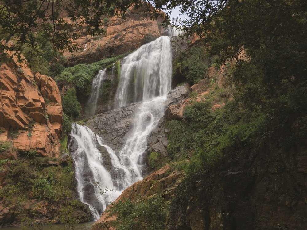
One of Joburg’s most beautiful and well-maintained parks, head to Walter Sisulu National Botanical Garden for a wide variety of unusual flora, excellent birdwatching (look out for the pair of Verreaux’s eagles), a waterfall and other natural delights. There are various easy walking routes that wind their way through the gardens, the longest of which is a 3.5km nature trail that takes you to the top of the Witpoortjie waterfall.The Walter Sisulu Botanical Garden is managed by the South African National Biodiversity Institute (SANBI). There is no need to book in advance to visit the gardens, but there is an entrance fee. No cash accepted. No pets allowed. Mon – Sun, 08:00 – 17:00. End of Malcolm Road, Poortview, Roodepoort.
If you are a keen hiker and want to know more about hiking Gauteng, read our #MyJoburg interview with hiking enthusiast Tanya Pembroke.
Safety first
Unfortunately, hikers may be targeted by criminals, which means safety considerations need to extend beyond basics such as ensuring you have adequate water, sun protection, and a first aid kit on hand when setting out. The idea is not to deter avid hikers or those looking to explore the outdoors from enjoying South Africa’s hiking trails; it’s simply important to be aware, remain vigilant, and take basic precautions. Here are some things to consider:
DO NOT HIKE ALONE
As with any kind of exploring, you are better off doing so in a group. Group hikes not only offer safety in numbers, but it’s also useful to have someone to turn to should an emergency arise. Do not venture too far ahead of the group and do not leave any members of the group behind. Some groups may find it useful to have two-way radios to keep in touch or whistles to raise an alarm in case of an emergency.
SHARE INFORMATION
When planning a hike, share information about where you are going as well as when you plan to return with someone you can trust to check in on you should the need arise. Let them know who they can contact in case of an emergency and share up-to-date locations as and when you’re able to.
PLAN IN ADVANCE
Make sure you familiarise yourself with the route and potential obstacles before setting out. Ensure you have the equipment and gear you may need along the way and share emergency contact details with all the members in your party. Don't underestimate how much water you may need, either.
FIND OUT MORE
When in doubt, contact the office or organisation that oversees the hiking trail you want to tackle to ask about specific risks, tips, and safety precautions.


Comments