History & Creation
Scandinavian glaciers several kilometres thick moved through this region 340 thousand years ago, creating an arch-shaped moraine rampart and exposing bands of sand, gravel, clay and lignite (brown coal) that had previously been buried 150 metres below ground. Beginning in the second half of the 19th century, these precious resources began to be mined and processed across the region. ‘Babina’ was one of the biggest mining enterprises in the area, which after WWII comprised many underground and open-cast lignite mines across the Polish side of the Muskau Bend, as well as a brickyard in Nowe Czaple and briquetting factory in Łęknica. The largest of these mines was the open-pit mine ‘Łuksa C’ - today known as ‘Africa’ thanks to its shape - which yielded 1,108,468 tonnes of lignite from 1964-68.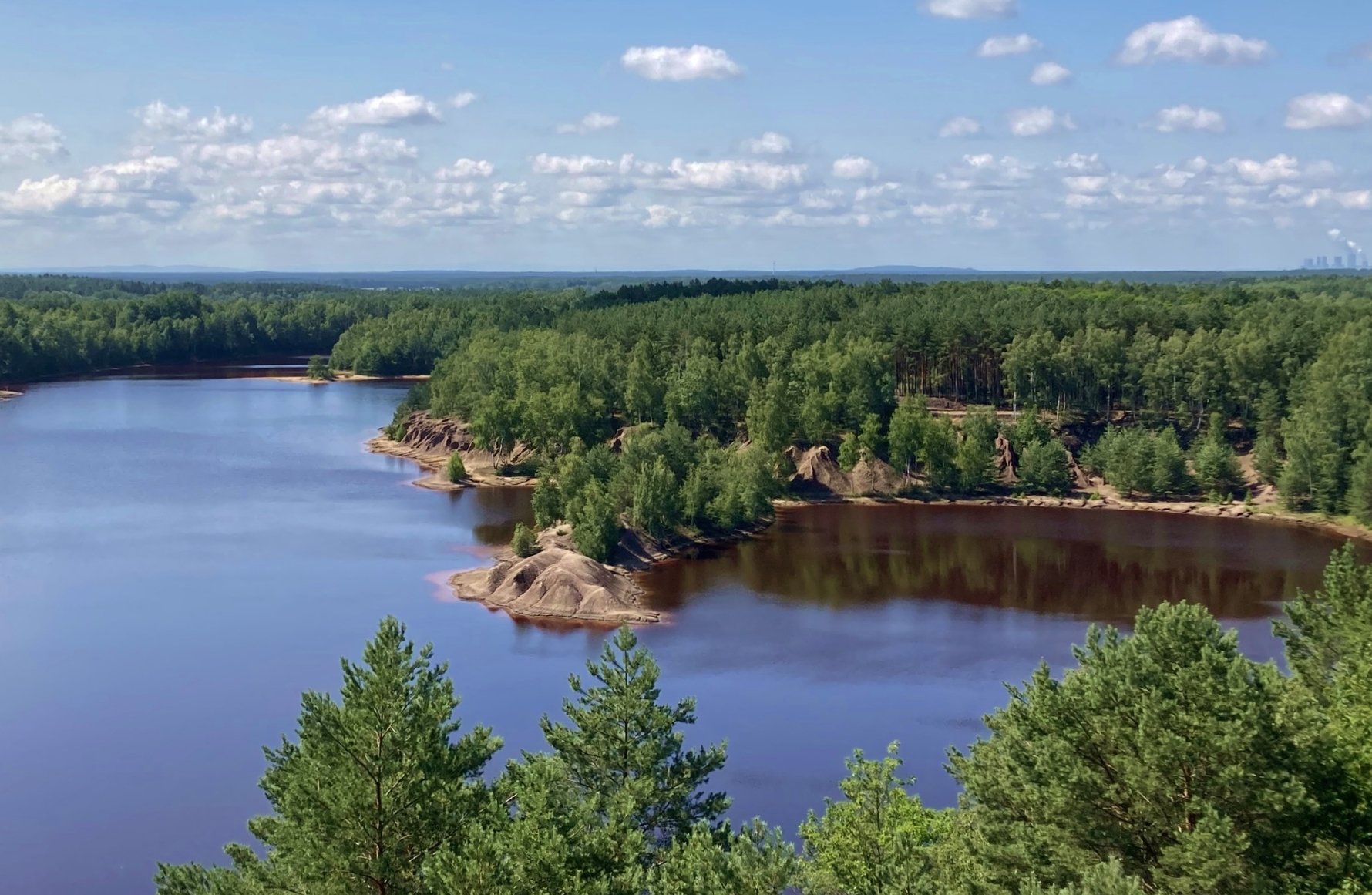
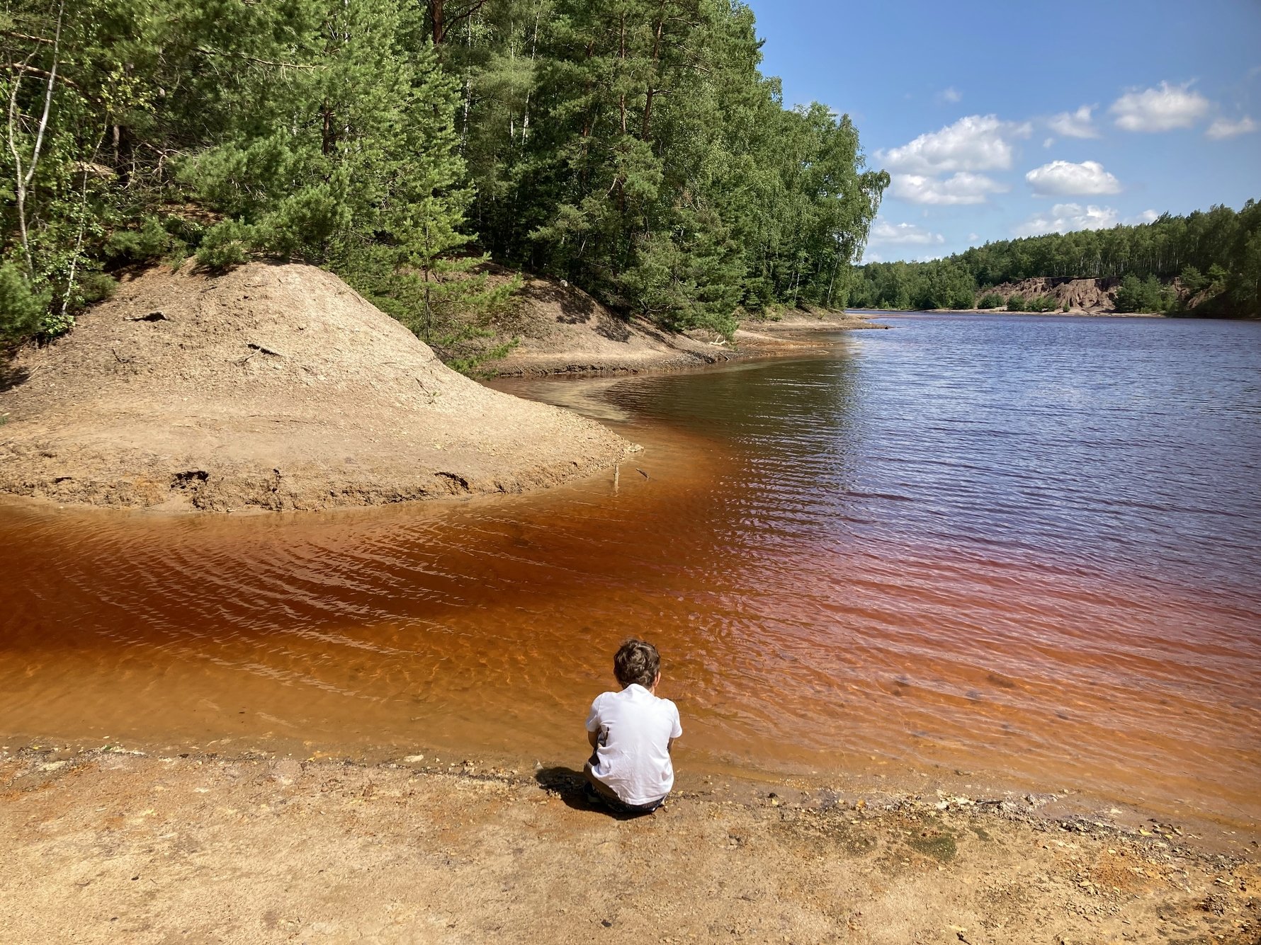
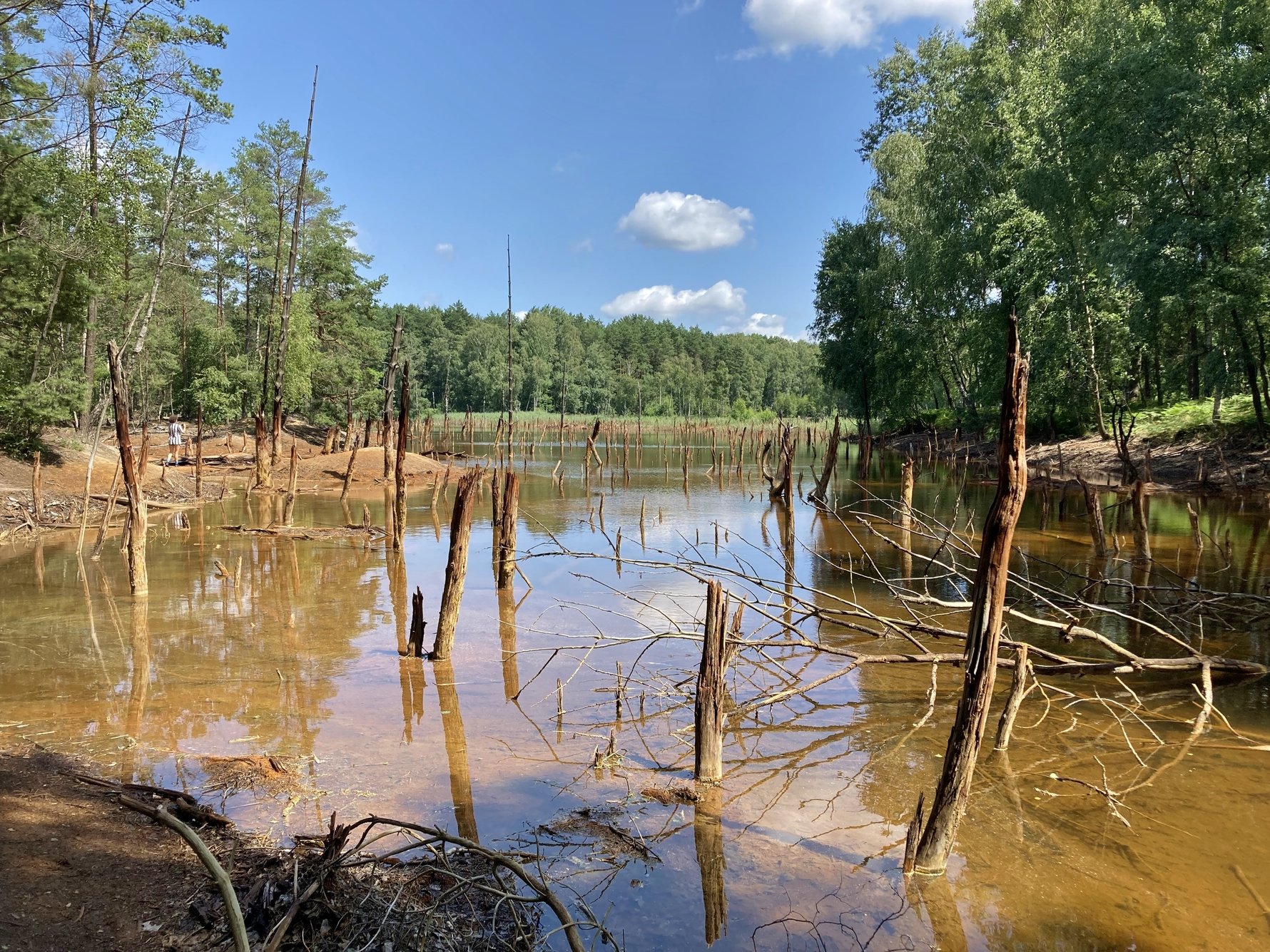
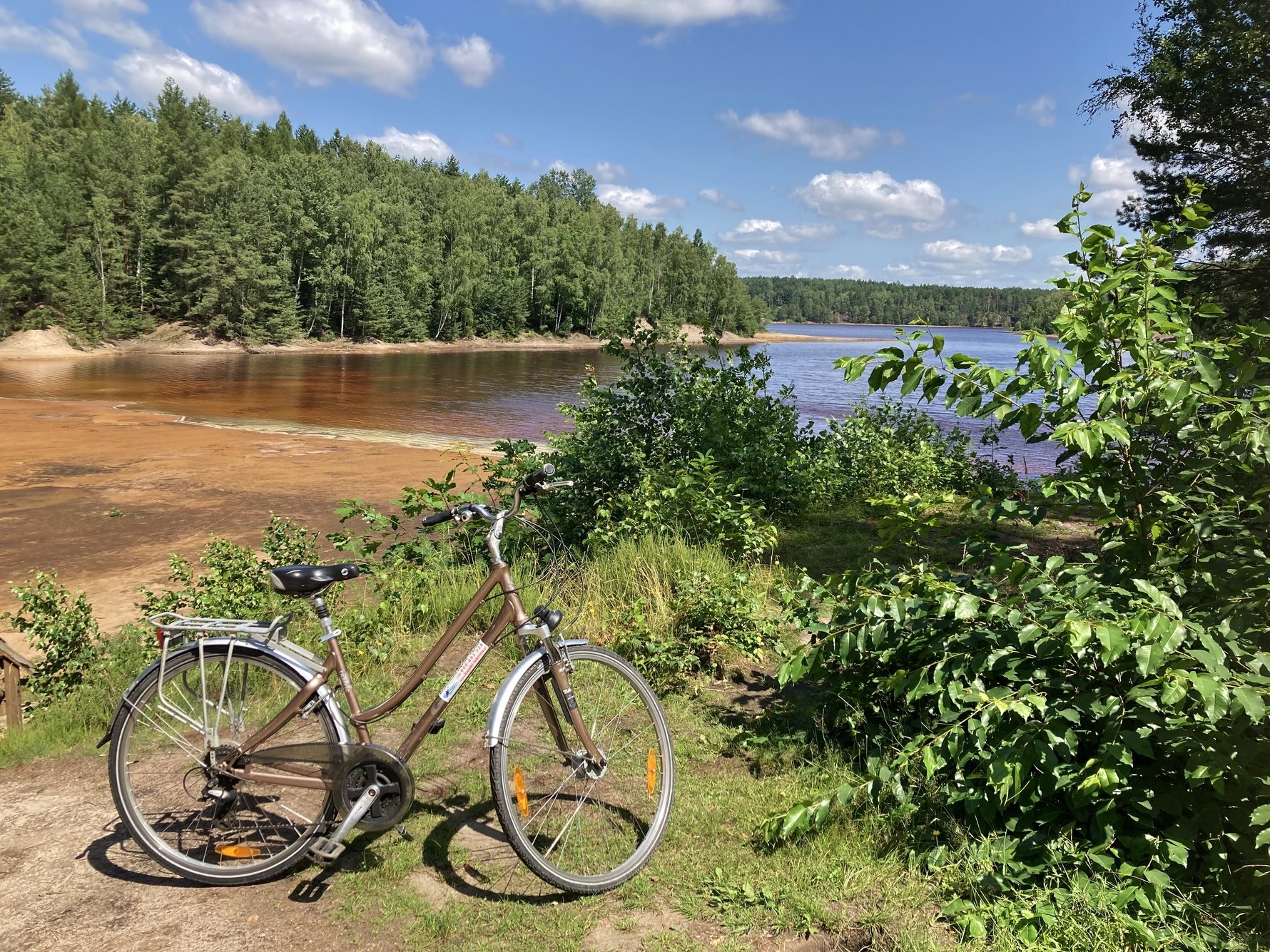
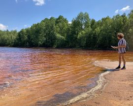
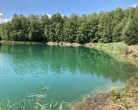
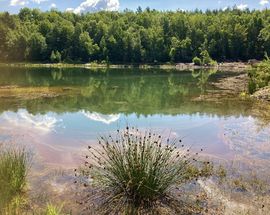
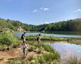
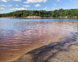
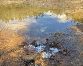
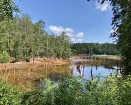
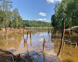
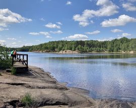
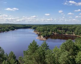
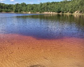
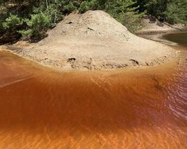
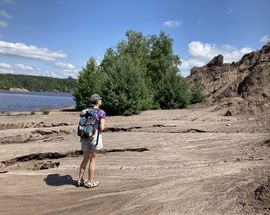
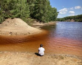
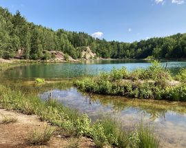
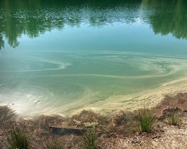
The Babina mining operation closed in 1973, but its traces are evident today in the form of a large anthropogenic (man-made) lake district. In the Polish part of the Muskau Bend there are 154 post-mining reservoirs created by the flooding of mining pits, or the collapse of ground above mining tunnels. Combined they cover more than 207ha, with the largest of them - the Africa/Afryka reservoir - having a surface area of 19ha. These lakes and other geological formations caused by excavation and erosion have now developed into a unique tourist attraction thanks to their brilliant colours and unusual landscapes. Due to various minerals, chemicals, iron compounds and high pH acidity in the reservoirs, the colour of the water in these lakes can range from red and rusty orange to emerald green and turquoise blue. Some reservoirs present a prism of colours, and there are even some springs bubbling out of the ground, making the artificial lake district a sort-of poor-man’s Yellowstone.
The Babina Mine Trail
The easiest way to see the diversity of these reservoirs and geological formations is via the 'Former Babina Mine' Geotourism Trail (Ścieżka geoturystyczna 'Dawna Kopalnia Babina'). This easy 5km paved trail for pedestrians and cyclists begins near the ruins of the brickyard in Nowe Czaple and leads you through forests to the edge of central Łęknica; it is not a loop.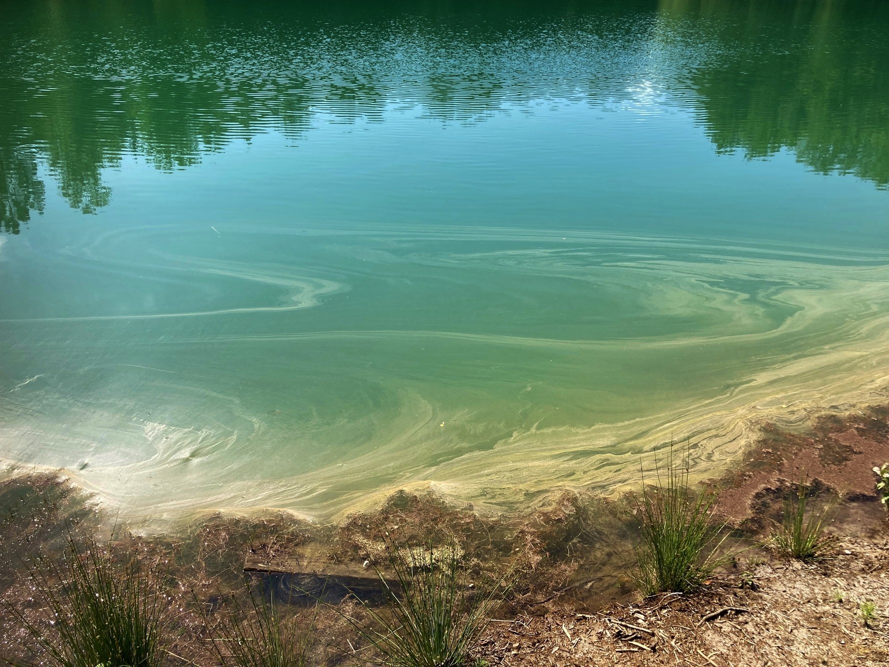
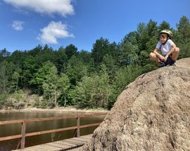
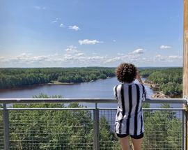
Along the way there are dozens of viewpoints over about 10 different reservoirs, a 30m-tall viewing tower, 11 informational boards about the main points of interest, and numerous benches, boardwalks and picnic tables. Walkers should set aside 2-3 hours for the route; cyclists 90mins. Free car parking can be found at both ends of the route, as well as near the middle of the route, just off of road 350 near the observation tower.
Bike Rental
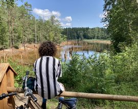
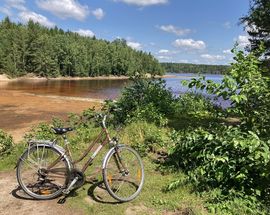
Although walkable, the best way to explore the ‘Former Babina Mine’ trial is by bike. This not only makes the 5km trail less tiring and time-consuming, but you can also use your bike to easily get to and explore the lovely Muskau Park nearby as well. In fact, you may find bike rental services in Muskau Park itself, or in Łęknica; one such rental place, ideally placed 300m from the start of the geotourism trial in Nowe Czaple is ‘Camping Family Łęknica,’ which offers bikes for 40zł per day (tel. +48 600 882 328; http://campingleknica.com/).


Comments